The Lost River Basin comprises about 20% of the total land area of the Klamath-Trinity River Basin Lost River Basin

The Lost River Basin is the area at the right center of the map straddling the Cal-Or line
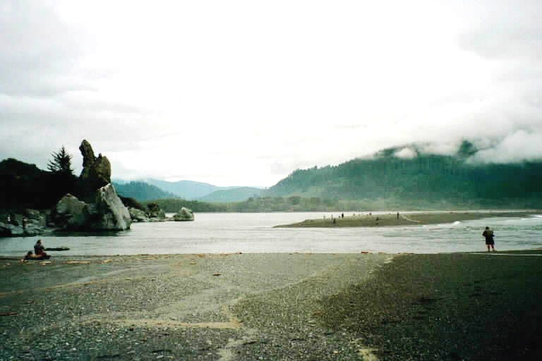
Note all the surface water indicated in blue (Map courtesy of KRIS)
KlamBlog has also determined that, if the proposed Water Deal goes through as planned, it will be virtually impossible to reverse the sacrifice of Lost River Basin
Some details of how the Lost River Oregon
Historical Background:
In order to understand why and how the proposed Water Deal if adopted and implemented would render the Lost River Basin
The Lost River Basin was not always part of the Klamath River Basin Upper Klamath Basin to the Lost River Basin near Klamath Falls during extreme flood events, prior to the coming of white Europeans, the Lost River Basin
We now know that Lost River Basin Fall River Valley Sacramento River . Water that originates in the Lost River Basin thus comprises a large part of the Pit River’s flow and a significant part of the water stored behind Shasta Dam near Redding , California
The Bureau of Reclamation (BOR) changed the Lost River Basin in a manner that has made it an integral part of the Klamath River Basin Lost River Basins
Each year water from Upper Klamath Lake and above flowed into the Lower Klamath Lake Area expanding the size of that vast waterbody. Likewise water from Clear Lake and the Lost River Basin uplands flowed into the then vast Tule Lake
In order to turn Lower Klamath Lake into farmland, the BOR used a railroad grade as a dike to prevent Upper Klamath Lake water from flowing into it. In order to turn Tule Lake into farmland the BOR first built the Lost River Diversion Canal and then a tunnel to pump “excess” water from the remnant Tule Lake (renamed a “Sump”) and through the Klamath Straits (renamed a “Drain”) to the Klamath River. In the absence of those facilities, the former Lower Klamath Lake and the former Tule Lake
Because of the human manipulations described above, the Lost River Basin now consists not only of the lands actually in the Basin but also the lands to which Lost River Lower Klamath Lake , Klamath Straits and Keno Reservoir portions of the main Klamath River Basin Tule Lake , pumped through Sheepy Ridge to Klamath National Wildlife Refuge and then dumped into the Keno Reservoir portion of the Klamath River via the Klamath Straits.
Sacrificed: Tule Lake and Lower Klamath NWRs:
Under the proposed Klamath Dam and Water Deals the Lost River Basin
Section 15.1.2 of the Water Deal provides terms for the allocation and delivery of water to National Wildlife Refuges. Careful study of these terms reveals that water for the Klamath and Tule Lake National Wildlife Refuges will be under the control of the Irrigation Elite who can choose to dewater the refuges under specified conditions, i.e. when the Elite decides that there is insufficient water for irrigation by its members.
This section – as well as draft legislation included in the Water Deal’s appendices - also locks in commercial agriculture on the refuges and assures that these commercialized refuge lands will get water before the marshes and wetlands on which refuge waterfowl and other wildlife primarily depend.
Furthermore, this section provides that the Irrigation Elite can use Tule Lake and Lower Klamath refuges as their water treatment plant in order to meet obligations under the Clean Water Act. These well-off irrigators can also choose to supply the refuges with water “from other sources.” That would be the wells which the public gave these irrigators during the 2001 drought (California
Sacrificed: Lost River Basin Groundwater
 This member of the Irrigation Elite was protesting the first ever curtailment of water deliveries in 2001. Those who value the environment, fish and wildlife might take away a different meaning.
The Water Deal provides in section 15.2.4 for the protection of groundwater. This is necessary because – while the critical Drought Plan required by the Deal has intentionally not yet been written – it is clear to those who know the Basin’s water resources that it will be necessary to pump groundwater in order to meet the priority irrigation water allocation provided to the Irrigation Elite and also meet the minimum Klamath River flow needs of salmon and other fish during drought years.
Protection of groundwater is accomplished by monitoring a specified set of springs. If groundwater falls too low these springs will diminish or cease running. It is a good monitoring plan and it should be effective in preventing mining of groundwater in order to provide for irrigation and Klamath River flow.
Careful study of the Deal, however, reveals that all the springs which will be monitored are in or adjacent to the Klamath River . There will be no monitoring of springs in the Lost River Basin
This is one of the dirty little secrets of the Water Deal: Obscured by language protective of groundwater on the Klamath River side, the Deal would allow and even encourage the continued, unsustainable mining of Lost River Basin groundwater so that Klamath Project irrigation deliveries can continue at current levels and so that water for fish can be commoditized.
Sacrificed: Public Water Planning in the Lost River Basin
Section 15.2. of the Water Deal provides about a million dollars to the Irrigation Elite to develop an “On Project Water Plan”, that is, a plan to “align water supply and demand” for most lands within the federal Klamath Project. This section gives the Elite sole control of the planning and a million bucks to do it and only requires approval of the resulting plan by (you guessed it!) the Bureau of Reclamation – an agency which has never seen an irrigation proposal it did not like. This section of the Deal says groundwater will be protected but it defines impacts to groundwater so as to exclude impacts to Lost River Groundwater.
 The Anderson-Rose Diversion Dam on the Lost River
This dam was built on top of the natural volcanic sill used by the Modoc Indians and by pioneers traveling the Applegate Trail
This section of the Water Deal creates a classic black box. Under its provisions, the Public will be excluded from water planning within the Lost River Basin Klamath Basin , i.e. the entire Lost River Basin
Sacrificed: Endangered Species in the Lost River Basin and Lower Klamath Lake
California legislation included in the proposed Water Deal (see section 23 and appendix A2) would provide the California Department of Fish and Game (CDFG) with the ability to allow the Irrigation Elite to “take” California fully protected species including but not limited to Kuptu and Tsuam (aka Lost River and Shortnose suckers), Bald Eagles and Golden Eagles.
Apologists for the Deal argue that this is simply extending the ability of CDFG to issue take permits as it does for other species – like Coho Salmon – which are listed under provisions of the California ESA but not “fully protected”. These apologists are correct; here’s the specific legislative language lawyers for the Irrigation Elite wrote into Appendix A2:
Section 2081.9 is added to the Fish and Game Code to read:
2081.9. (a) Notwithstanding Sections 5515 and 3511 and contingent upon the conditions set forth in (b) and (c), the department may authorize, under Chapter 1.5 (commencing with Section 2050) or Chapter 10 (commencing with Section 2800), the take of species in the Klamath River basin and those portions of the Tule Lake California
In other words, the Water Deal would provide the California Department of Fish & Game (CDFG) with the ability to do the sort of thing they are trying to do right now in the Shasta and Scott River portions of the Klamath River Basin
The sort of mischief CDFG is engaged in on the Shasta and Scott would be exported under the Water Deal to the Lost River Basin Scott River irrigators illustrates what this would lead to in the Lost River Basin
"The Department will make every effort to work with Siskiyou Resource Conservation District and sub-permittee to correct or avoid such take [coho stranding] by some means other than reducing or ceasing the diversion and/or changing the timing or manner of the diversion."
Some promoters of the Water Deal are expected to be plaintiffs in litigation which will be filed soon to block CDFG from selling-out Coho on the Shasta and Scott. These individuals apparently do not believe that Kuptu, Tsuam and Bald Eagles are as important as Coho Salmon.
Based on its corrupt behavior on the Shasta and Scott, KlamBlog expects that CDFG will attempt to legalize take of Kuptu, Tsuam, Bald Eagles and other protected species by the Irrigation Elite in the following portions of the Lost River Basin IF the Water Deal and the California
¨ Clear Lake : This natural lake is the source of the Lost River
¨ Lost River : Subject to channelization (straightening) by the Bureau of Reclamation, virtually every stick of vegetation has been removed from the banks of the Lost River
¨ Tule Lake: The remnant Tule Lake
¨ Tule Lake Salton Sea when the Klamath refuges are dewatered. The eagles, however, do not leave; they starve to death. Although this “take” is illegal under California
KlamBlog has presented above information from the proposed Water Deal which we believe makes the case that those who support and promote the Deal are colluding to render the Lost River Basin
- American Rivers
- Northern California/Nevada Council Federation of Fly Fishers
- Trout Unlimited.
KlamBlog invites representatives of these organizations to defend themselves here. We welcome their submission telling KlamBlog’s readers why they think the analysis above is in error or alternatively why they think it is OK to sell out one area and river in order to “save” another area or river.

[1] Proposed federal and state legislation to implement the Klamath Deals has already been drafted. See Appendix E, G1, G2 and G3 of the proposed Klamath Hydroelectric Settlement Agreement (KHSA) – the Dam Deal; and Appendix A1. A2 and A3 of the proposed Klamath Basin Restoration Agreement (KBRA) – the Water Deal. Both are available at www.edsheets.com.
[2] The Klamath Water Users Association (KWUA) Board of Directors voted over a year ago not to agree to any major changes to the Draft Klamath Basin Restoration Agreement (the Water Deal). KWUA represents the Irrigation Elite in Klamath negotiations.


No comments:
Post a Comment